Key Takeaways:
- The Digitales Geländemodell (DGM) is Germany's official digital terrain model: a regular grid of bare-earth elevation, produced by the state surveying offices from airborne laser scanning
- A DGM removes buildings and vegetation; a Digitales Oberflächenmodell (DOM), the surface model, keeps them in. Flood and earthworks work needs the bare-earth surface, not the surface with everything on it
- All 16 federal states publish a DGM, but each surveying office runs its own laser-scanning programme, so grid resolution and survey vintage vary by state, and sometimes within one
- The DGM is the standard terrain input for drainage and flood modelling, earthworks estimation, and viewshed analysis, and it is the surface you drape LOD2 building models onto for 3D context
- Assembling sixteen state models into one consistent grid is genuinely hard, which is why most teams still request terrain state by state instead of screening a whole portfolio against it
If your work involves water, sightlines, or moving earth, at some point you need to know what the ground actually looks like without the buildings and trees on top of it. That is what the Digitales Geländemodell (DGM) is for: Germany's official bare-earth terrain model, published by the state surveying offices and derived mainly from airborne laser scanning. This guide explains what a DGM actually contains, how it differs from a surface model, and what changes once terrain stops being sixteen separate state downloads and becomes one harmonised layer.
What is a Digitales Geländemodell (DGM)?
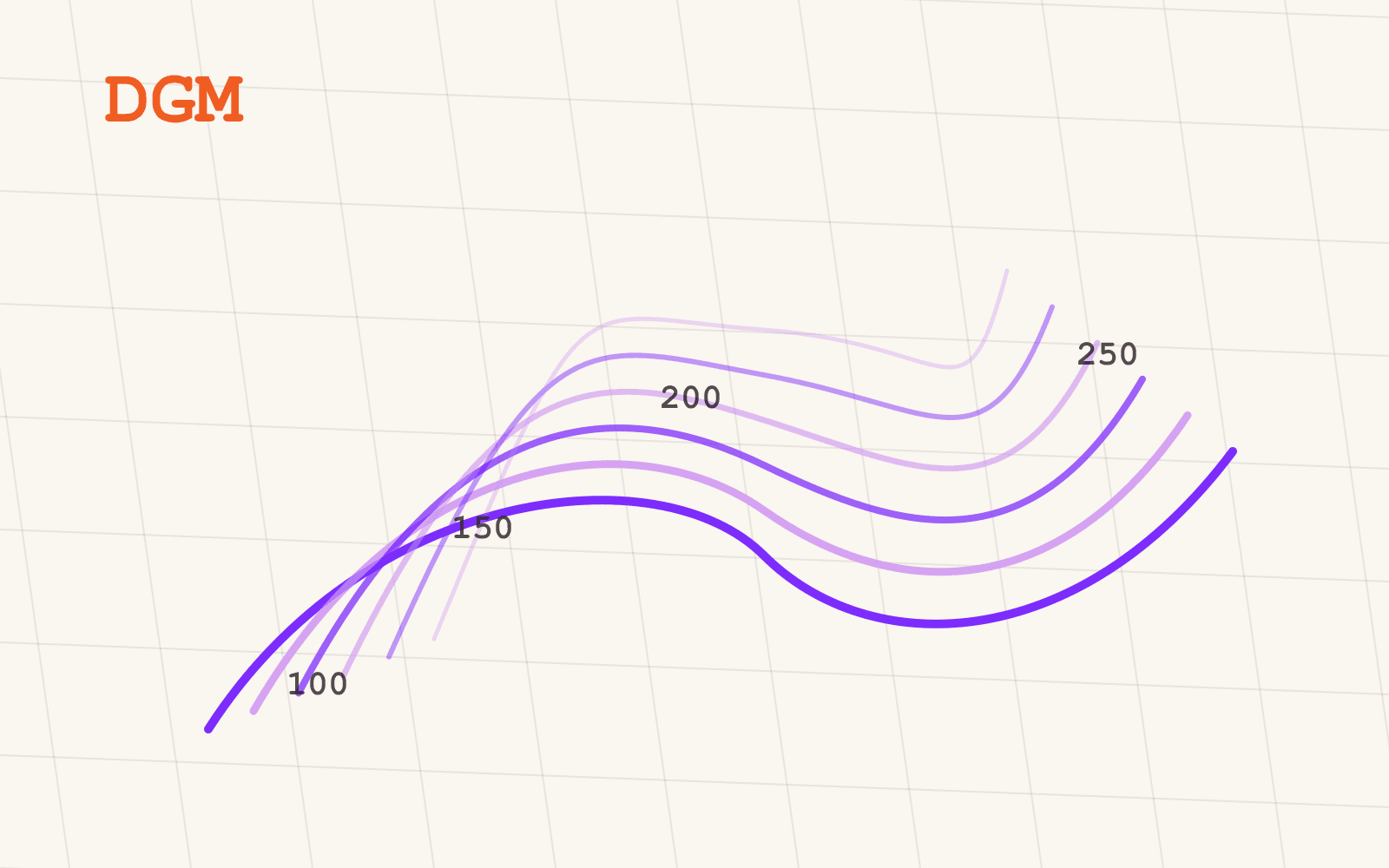
A Digitales Geländemodell is a digital terrain model: a regular grid of ground elevations describing the bare earth, with buildings and vegetation removed. In Germany, the DGM is produced by the state surveying offices (the Landesvermessungen), primarily from airborne laser scanning campaigns that sweep the terrain and strip out everything standing on it during processing. That makes it official geodata, authoritative in origin and structured the same way regardless of which state published it.
Whenever water, sightlines, or earth movement enter an analysis, the DGM is the surface everything else gets computed against. Rainfall runs downhill according to the DGM. A viewshed from a proposed mast is blocked or open according to the DGM. A cut-and-fill estimate for a building pad is measured against the DGM. Get the terrain wrong and every calculation built on top of it inherits the error.
What does a DGM actually contain?
Strip away the marketing language and a DGM is a fairly simple product, just a demanding one to assemble consistently:
- Ground elevation: bare-earth heights in the official German height reference system, buildings and vegetation removed
- A regular grid: elevations arranged on a regular grid, ready for raster analysis in any GIS, from slope and aspect to watersheds and viewsheds
- Grid resolution: the spacing of the published model. Resolution varies by state, because each surveying office runs its own programme. Rather than quoting one flattering nationwide number, the honest approach is to state resolution per delivery, for the area you actually care about
- Survey vintage: metadata on when the underlying laser-scanning flight took place, which also varies by state and by region within a state
That last two points matter more than they sound like they should. A terrain model flown five years ago in an area with active earthworks is a different product from one flown last year, even if both call themselves "the DGM."
How is a DGM different from a DOM?
This is the distinction that trips people up most often, and it is worth being precise about it. A Digitales Geländemodell describes the bare earth: ground only, with buildings and vegetation processed out. A Digitales Oberflächenmodell (DOM), the surface model, describes everything standing on that ground: rooftops, tree canopy, whatever else the laser scanner's first return hit.
Which one you need depends entirely on the question. Flood and drainage modelling wants the DGM, because water does not care about the roof of the warehouse it is about to run through. Earthworks estimation wants the DGM, because you are measuring the ground you would actually excavate. But if you want an approximation of building or canopy height, the difference between the DOM and the DGM at the same point is roughly that object's height, which is why the two models are often used together rather than as alternatives.
If you also need the buildings themselves as structured geometry rather than as a height difference, that is a separate dataset: combine the DGM with an LOD2 building model layer, and you get bare ground and built form as two layers you can reason about independently, then stack back together for a full 3D scene.
Why does terrain data vary so much by state?
Every one of the 16 federal states publishes a DGM. Terrain is one of the datasets every state surveying office maintains, which sounds like it should make this the easy layer to get right nationwide. It mostly is not, for a structural reason: each Landesvermessung runs its own laser-scanning programme, on its own schedule, to its own specification.
The practical result is that grid resolution and survey vintage differ from state to state, and occasionally from region to region within the same state. One state's model might be finer-grained than its neighbour's; one region's flight might be several years older than the one next door. None of that makes any individual state's DGM wrong. It is exactly what you would expect from sixteen surveying authorities each doing their own official job well. It does mean that a dataset claiming to be "the DGM for Germany" without saying which resolution and which vintage applies where is quietly asking you to trust an average that does not exist anywhere on the ground.
Mapular's DGM layer harmonises the state extracts into one consistent grid structure covering all 16 states, and states resolution and survey vintage per delivery rather than papering over the differences with a single nationwide figure. What you get is honest about where it came from, which matters when the terrain feeds into a flood report or a planning application someone else has to sign off on.
What can you actually do with a DGM?
In practice, the DGM earns its place in four kinds of work:
- Drainage and flood modelling: the official bare-earth surface is the standard terrain input for understanding where water goes, and for the context around any flood analysis that needs a real ground surface rather than an estimate
- Earthworks and cut-and-fill estimates: site development work that needs to know how much material has to move measures that against the DGM, not against a surface with buildings already on it
- Line-of-sight and viewshed analysis: infrastructure and planning work that asks what can see, or be seen from, a given point (a mast, a turbine, a viewpoint) runs that calculation against bare terrain
- Terrain suitability screening at scale: slope, aspect, and elevation are the basic filters for screening a portfolio of sites, and they only mean something if the terrain grid behind them is consistent from site to site
None of that requires exotic tooling. It requires a terrain grid you can trust and compute against the same way everywhere, which is precisely what a single state's DGM does not guarantee you once your sites cross a state line.
Why does one national DGM beat sixteen downloads?
The honest version of the fragmentation story is this: the DGM is not hidden data. Every state surveying office publishes it as official geodata, through its own geoportal, in its own format and tiling scheme. Nothing about it is secret. It is simply distributed across sixteen separate publishing authorities, each with its own access process, and assembling those sixteen extracts into one grid you can query consistently is real work that has nothing to do with the terrain itself.
That is the gap a harmonised layer closes. Once terrain stops being sixteen downloads and becomes one dataset, "screen every site above 400 metres elevation and under 8 percent slope within our target regions" turns from a multi-state data-wrangling exercise into a filter. You can browse the full range of German geospatial datasets Mapular carries, terrain included, with exact coverage stated by federal state, in the geospatial data catalog.
Where do you go from here?
If your team is still requesting terrain state by state and reconciling grid formats before you can even start the analysis, the Digitales Geländemodell layer page lays out what the layer contains, how resolution and survey vintage are stated per delivery, and how to request sample data for your area of interest before committing to anything wider.