Key Takeaways:
- AFIS, ALKIS and ATKIS are three distinct official systems: geodetic reference points, the real-estate cadastre, and topographic base data, respectively
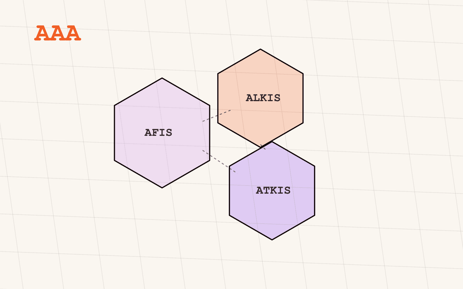
- The AAA-Modell (Amtliches AFIS-ALKIS-ATKIS-Modell) is the shared object-oriented data model Germany's state surveying authorities built so all three describe shared concepts, like a building, the same way
- AFIS anchors every other survey to a common reference frame; without it, ALKIS parcels and ATKIS topography from different states wouldn't line up at all
- ATKIS is topographic base data, land cover, transport, hydrography, buildings at defined levels of detail, and is a different thing entirely from the cadastral parcels ALKIS carries
- One shared model does not mean one shared publication: each state's surveying authority still exports and releases its own AAA-conformant data on its own schedule
Anyone who spends enough time in German geodata eventually runs into all three acronyms in the same paragraph, usually without an explanation of how they relate. AFIS, ALKIS and ATKIS are not competing systems or three names for the same thing. They're three distinct official registries that Germany's surveying authorities deliberately unified under one shared data model, the AAA-Modell, precisely so a "building" or a "parcel boundary" means the same thing whichever of the three systems you found it in. This post explains what each one covers, what the AAA-Modell actually unifies, and why that unification still leaves you with sixteen separate publications instead of one.
What is the AAA-Modell, and why does it exist?
The AAA-Modell, short for Amtliches AFIS-ALKIS-ATKIS-Modell, is the shared object-oriented data model developed by the AdV, the working committee of Germany's state surveying administrations, to bring three previously separate systems under one consistent structure. Before AAA, the geodetic reference-point system, the cadastre, and the topographic base data were modelled and maintained independently, each with its own object definitions, so a concept as basic as "building" could be described differently depending on which system you asked.
AAA replaced that with one shared object catalogue, documented in what the AdV calls GeoInfoDok, defining common object types, geometry rules, quality attributes and lifecycle states (a feature can be marked as existing, planned or historical, for instance) that AFIS, ALKIS and ATKIS all draw from. Data conformant with the model is exchanged through NAS, a standardised, GML-based interface, so that in principle a downstream system can consume AFIS, ALKIS or ATKIS records through the same kind of interface regardless of which one it's reading.
What is AFIS, and why does it matter even if you never touch it directly?
AFIS, the Amtliches Festpunktinformationssystem, is the official register of Germany's geodetic control points: the fixed, precisely surveyed reference points (from triangulation and levelling networks) that every other survey in the country ultimately ties back to. It's the least visible of the three systems in day-to-day work, because almost nobody queries AFIS points directly for a business question. But it's the reason a parcel boundary surveyed in Bavaria and one surveyed in Schleswig-Holstein can be trusted to sit in the same coordinate reference frame at all. Without a shared, high-precision point network underneath everything else, "harmonised nationwide data" would be a coordinate-transformation problem before it was anything else.
What is ALKIS, and how does it fit in?
ALKIS, the Amtliches Liegenschaftskatasterinformationssystem, is Germany's official real-estate cadastre: parcels (Flurstücke), their boundaries, area and official identifiers, along with building outlines. It's the system a shortlist, a permit application or a lease ultimately has to resolve to, because nothing gets built, sold or leased against a topographic feature or a reference point, only against a parcel. We've covered ALKIS and Flurstücke in detail separately: what a Flurstück is, what ALKIS does and doesn't contain, and how parcel geometry becomes the join key that makes zoning, hazard and portfolio data queryable together.
What is ATKIS, and how is it different from ALKIS?
ATKIS, the Amtliches Topographisch-Kartographisches Informationssystem, is a different thing entirely: official topographic base data describing the physical and built landscape rather than legal land ownership. Where ALKIS answers "whose parcel is this and where does it end," ATKIS answers "what is actually here": transport networks, water bodies, vegetation and land cover, settlement areas, structures and facilities, and protected areas, captured at defined levels of detail and used, among other things, as the source data behind Germany's official topographic maps.
The distinction matters in practice more than the acronyms suggest. A parcel from ALKIS tells you a legal boundary. A road or a forest edge from ATKIS tells you physical reality on the ground. The two frequently need to be queried together, a site next to a federal road, a plot bordering woodland, which is exactly the case the AAA-Modell's shared object approach was built to make easier: the same kind of geometry and object logic underneath both, even though the content is entirely different.
If it's one shared model, why does coverage still vary by state?
Because the AAA-Modell standardises how data is structured, not who publishes it or when. Surveying, and therefore AFIS, ALKIS and ATKIS maintenance, sits constitutionally with Germany's sixteen federal states, each running its own surveying authority (Vermessungsverwaltung), its own production pipeline, and its own release schedule. A shared object model means a building in Saxony's ATKIS export and a building in Hesse's ATKIS export are structured the same way once you have both. It says nothing about whether both states have published recently, at the same level of detail, or at all: Bavaria, notably, does not publish its ALKIS parcel data at source, despite the same AAA-Modell applying there as everywhere else.
That's the layer Mapular adds on top of AAA-conformant structure: not a second data model, but the work of actually collecting, watching and re-pulling sixteen states' worth of AAA-conformant exports, and stating plainly, per layer and per state, where the model's promise of consistency does and doesn't translate into an actual, current dataset you can query.
Where to go from here
If parcels are the layer you need first, the ALKIS Flurstücke post goes deeper on what that data contains and how it's used. For the full picture of what's harmonised across all three systems today, the geospatial data catalog lists every layer with its exact per-state coverage stated openly.