










TransparenC
Carbon Credit Platform
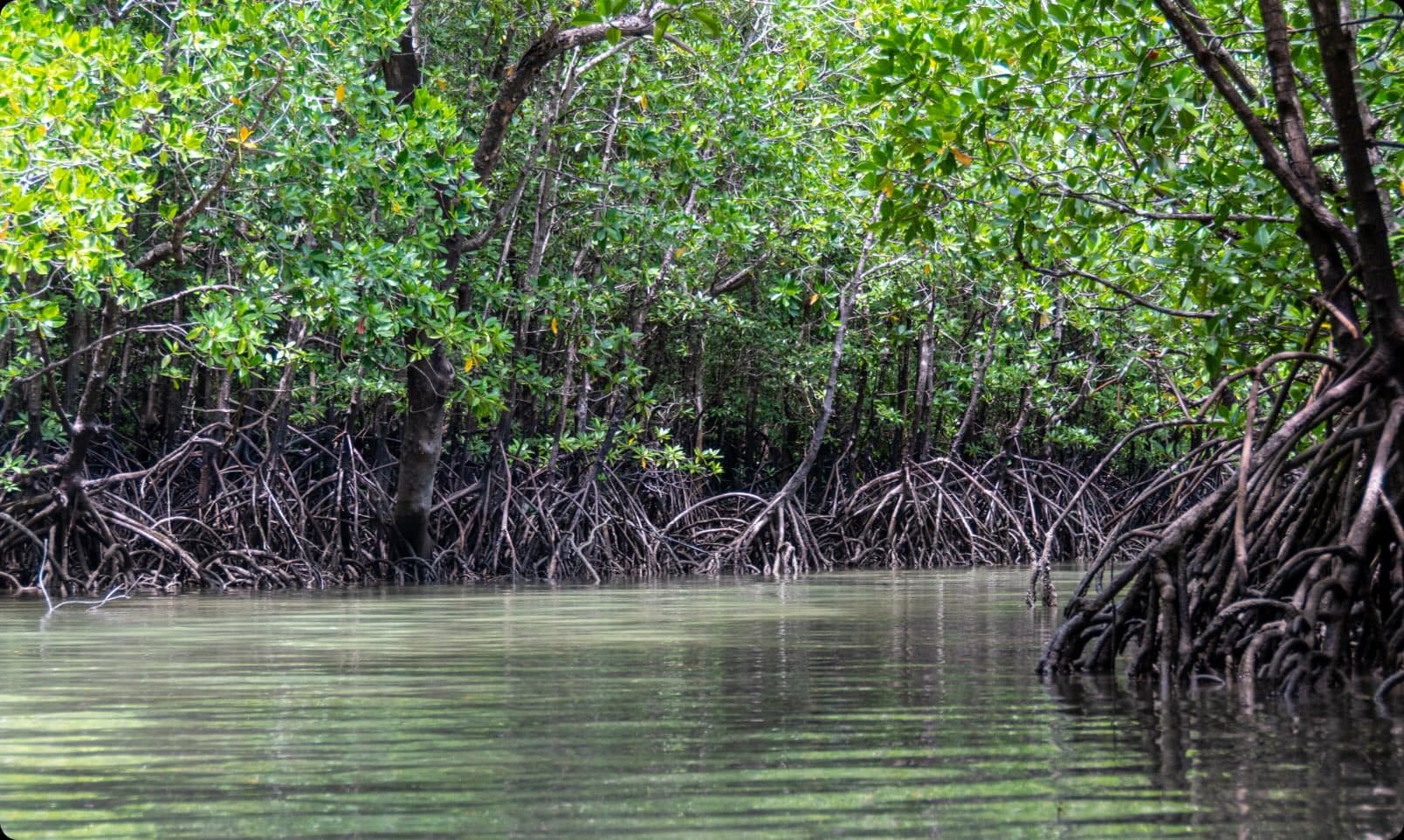
A carbon credit marketplace that began with blue carbon and grew into a multipurpose platform, using satellite imagery and geospatial analysis to monitor and verify carbon sequestration across project types.
Environment & Climate
Climate risk modeling, conservation platforms, renewable energy siting, and agriculture monitoring. This is our deepest vertical. We have delivered 9+ projects across climate, water, biodiversity, and food systems, working with research institutions, NGOs, and public agencies.
Trusted by industry leaders
What We Deliver
Applications that model flood risk, heat islands, and extreme weather exposure. Built for city planners, insurers, and infrastructure operators who need to plan for what is coming.
Dashboards that track biodiversity metrics, habitat restoration progress, and species population data. From carbon credit verification to reforestation campaign tracking.
Applications that evaluate potential locations for wind, solar, or other renewable installations. Combining wind speed, flood hazard, grid proximity, and land use data into a single scoring tool.
Field monitoring systems, harvest forecasting tools, and groundwater prediction models. Designed for large-scale programs spanning thousands of farms or entire watersheds.
How We Work
Environmental projects often involve complex, multi-source data: satellite imagery, sensor networks, weather models, field surveys, and government datasets. We have experience integrating all of these into coherent analytical pipelines.
We have delivered multiple EU-funded research projects, including a 4-year initiative on urban flood risk modeling. This gives us experience with the documentation, reporting, and collaboration requirements that publicly funded work demands.
Our team works directly with environmental scientists, hydrologists, and conservation researchers. We translate domain expertise into functional software, not the other way around.
Selected Projects

TransparenC
A carbon credit marketplace that began with blue carbon and grew into a multipurpose platform, using satellite imagery and geospatial analysis to monitor and verify carbon sequestration across project types.

Biodiversify
For Biodiversify we built and implemented a software as a service application to allow users to analyse the Biodiversity Net Gain (BNG) implications of potential development sites. Biodiversify's BNG...

EGLV
A digitized task-allocation system for improving situational awareness, task dispatching, and workforce management during flooding events, enabling real-time coordination for management and field workers.
Mapping & Visualization
AI & Machine Learning
Data & Analytics
Your Project
Tell us about your project requirements. We'll match you with the right specialists and outline a tailored approach, no commitment required.