CesiumJS3DSolarComplianceRenewable Energy
Mapular
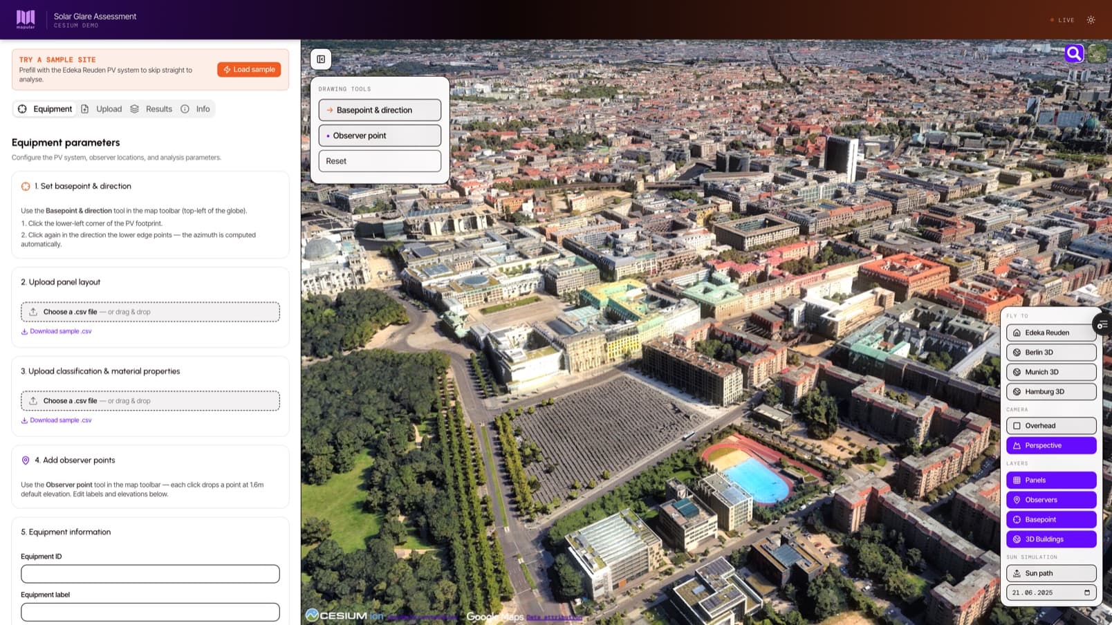
Solar Glare Assessment App
An interactive 3D tool for assessing glint and glare from solar installations under Germany's BImSchG. Stakeholders see the physics on screen and get a regulator-ready PDF in one click. The project earned Mapular Cesium Certified Developer status.
Read case study