Key Takeaways:
- XPlanung is Germany's national standard for encoding statutory land-use plans, Bebauungspläne, Flächennutzungspläne and others, as structured, machine-readable data instead of scanned documents
- It defines XPlanGML, a GML-based schema that ties designation categories, text-based ordinances and procedural metadata directly to plan geometry
- A broader digitalisation push has moved German municipalities from PDF-and-paper plans toward XPlanung-conformant digital plans, though rollout speed still varies by municipality and by which schema version they publish against
- "XPlanung-conformant" describes the format, not automatically a harmonised, comparable dataset: schema versions, local profiles and designation-category choices still differ enough to need reconciliation
- Mapular's Bebauungsplan and Flächennutzungsplan layers absorb that reconciliation, so a query works the same way regardless of which XPlanung version or profile the source municipality published against
Every Bebauungsplan and Flächennutzungsplan we've written about on this blog exists, somewhere, as a document with legal force. What determines whether you can actually query that document as data, instead of reading it PDF by PDF, is a single standard most people never hear named directly: XPlanung. This post explains what it is, what it structures, and why "the municipality publishes XPlanung-conformant data" is a real improvement over a scanned plan, but not by itself the end of the harmonisation problem.
What is XPlanung?
XPlanung is Germany's nationally coordinated standard for representing statutory spatial plans, Bebauungspläne (binding land-use plans), Flächennutzungspläne (preparatory land-use plans), Landschaftspläne (landscape plans) and formal regional plans, as structured digital data rather than static documents. Before XPlanung, a plan's legal content, its designation categories, text-based ordinances, procedural status and dates, existed mainly as prose and cartography inside a PDF or a paper document, tied to a map by nothing more formal than page layout.
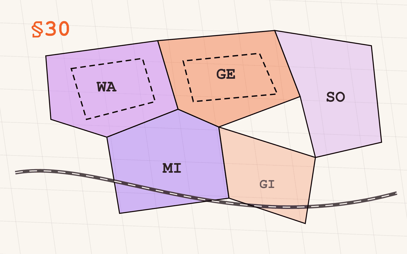
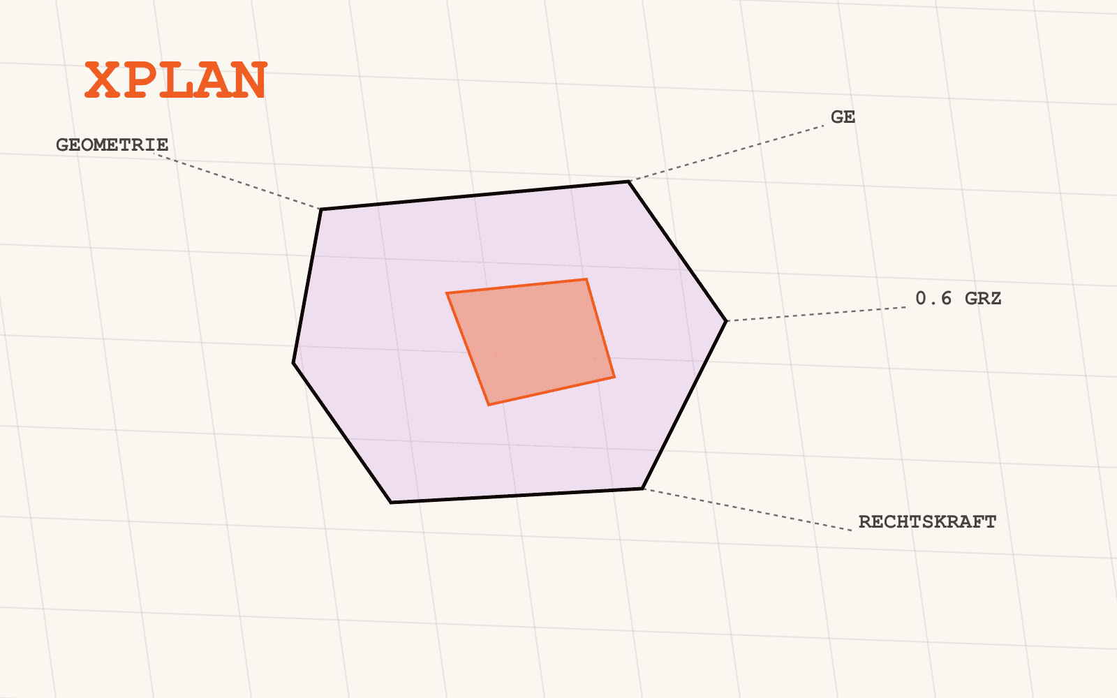
XPlanung changes what a "plan" is technically. Instead of a document that happens to have a map in it, a plan becomes a structured record where every designation is a geometry with attributes, every ordinance is tied to the area it governs, and the procedural history, from initiation to legal force, travels with the plan as data rather than as a footnote.
What does XPlanGML actually encode?
XPlanGML is the schema XPlanung defines, built on GML (Geography Markup Language), the general-purpose geographic data exchange format. Within that schema, a digitised Bebauungsplan carries, among other things:
- The plan's geometry, both its overall boundary and every individual designation area within it
- Designation categories (Nutzungsarten), the same Baugebiet types, Wohngebiet, Gewerbegebiet, Mischgebiet and so on, that appear in a paper plan, but as structured attribute values rather than a map legend
- Text-based ordinances (Textliche Festsetzungen), linked directly to the geometry they apply to, instead of sitting in a separate document a reader has to cross-reference manually
- Procedural metadata: plan type, procedure type, initiating authority, and the dates that mark a plan's legal lifecycle, from initiation decision through to legal force and any subsequent amendment
That last point is exactly what shows up when Mapular Explorer's attribute panel opens a Bebauungsplan feature: plan ID, plan type, procedure type, legal status, initiating authority, and the full date history. That structure exists because XPlanGML defined a place for each of those facts to live, tied to the geometry, not because Mapular reconstructed it from a document after the fact.
Why did municipalities start publishing this way?
A broader digitalisation push, running alongside e-government and open-data initiatives, has steadily moved German municipalities away from paper-and-PDF planning toward digital, XPlanung-conformant plans as the expected default for new and amended Bebauungspläne and Flächennutzungspläne. The direction of travel is consistent: new plans increasingly get authored digitally from the start, rather than digitised after the fact.
What that push doesn't produce is a single moment where every plan in Germany becomes XPlanung data simultaneously. Municipalities adopt at different speeds, older plans get digitised on their own schedule if at all, and, just as with every other German geodata standard, a plan existing as XPlanung data somewhere doesn't automatically mean it's published anywhere a reader outside the municipality can actually reach it.
Does "XPlanung-conformant" mean two plans are actually comparable?
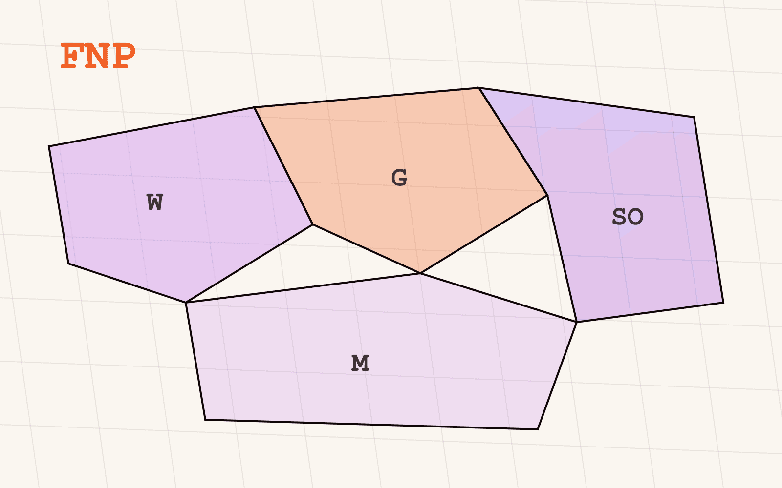
Not automatically, and this is the point most explanations of XPlanung skip. XPlanung has gone through successive schema versions over its lifetime, and a municipality publishing valid XPlanGML today might be conformant to a different version than its neighbour, with different attribute availability as a result. On top of that, XPlanung permits local profiles and some latitude in how designation categories map onto the standard's category set, so "Gewerbegebiet" in one municipality's export and the next municipality's export can still require reconciliation before a query treats them as the same thing.
That's a materially better starting point than a scanned PDF, since the geometry and the core attribute structure are already there. But it's still short of "one nationwide dataset," which is the gap between a standard existing and a standard producing comparable data at scale.
How does this connect to the layers Mapular actually ships?
Mapular's Bebauungsplan and Flächennutzungsplan layers are, in large part, the work of taking XPlanung-conformant exports from the state geoportals that publish them, across whichever schema versions and local profiles the underlying municipalities used, and mapping them onto one documented category set and attribute schema. Where a state doesn't publish centrally, and plans instead sit scattered across individual municipal portals, often still as scanned documents rather than structured XPlanGML, that's a different, earlier-stage problem, and one reason coverage across the two layers isn't yet uniform nationwide.
Either way, the practical benefit is the same: a query against Mapular's harmonised layer behaves the same way whether the underlying municipality published against an older or newer XPlanung schema, because that reconciliation already happened once, upstream of your query, instead of needing to happen every time someone opens a new plan.
Where to go from here
If you want to see what a digitised Bebauungsplan actually looks like as structured data, our post on reading a Bebauungsplan walks through a real one attribute by attribute. For coverage and access details, the Bebauungsplan layer page and the Flächennutzungsplan layer page both state exact per-state coverage openly.